 Climate
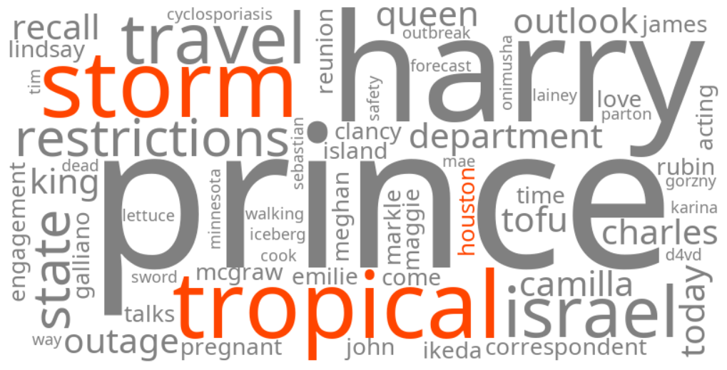
tropical storm houston
Summary (tl;dr)
A tropical depression has formed in the Gulf of Mexico and is expected to strengthen into Tropical Storm Edouard, bringing heavy rainfall, potential flash flooding, and gusty winds to the Houston area and the surrounding Gulf Coast of Texas and Louisiana starting Tuesday.
Essential Background
The Atlantic hurricane season is currently at its peak. Forecasters had been monitoring a weak area of low pressure in the northern Gulf of Mexico, which has now organized and strengthened into Tropical Depression Five. This system is anticipated to become the fifth named storm of the 2026 Atlantic hurricane season, likely to be named Edouard. A tropical storm is defined as a tropical cyclone with sustained wind speeds between 39 and 73 miles per hour.
The Full Story
As of Monday, August 31, 2026, Tropical Depression Five is located approximately 120 miles south-southeast of Morgan City, Louisiana, in the northern Gulf of Mexico. It currently has maximum sustained winds of 35 mph and is moving west-northwest at 5 mph. The National Hurricane Center (NHC) predicts that the depression will strengthen into a tropical storm, expected by Monday night or Tuesday morning, and will make landfall along the northwestern Gulf Coast by Tuesday morning or early afternoon.
A Tropical Storm Warning has been issued for portions of the upper Texas and southwestern Louisiana coasts, specifically from Port Bolivar, Texas, to the Vermilion/Cameron Parish Line in Louisiana, indicating that tropical storm conditions are expected within 24-36 hours. For the Houston area, a Weather Impact Alert is in effect for Tuesday and Wednesday, with the primary concern being heavy rain and localized flooding, particularly east of I-45, where rainfall totals could range from 3 to 9 inches. Gusty winds are also possible, especially closer to the coast and east of Houston.
Why It Matters
The trending keywords reflect significant public concern and interest as the tropical system poses a threat of heavy rainfall, which could lead to flash flooding in urban and low-lying areas across the affected region. Despite recent dry conditions, flooding remains a substantial concern for Houston. Gusty winds could also result in isolated power outages, particularly in coastal areas. Authorities are advising residents to take precautions, including charging devices, securing outdoor property, clearing storm drains, and preparing emergency supplies.
Geographic Location
- Gulf of Mexico, United States (Tropical Depression Five formed and is strengthening)
- Houston, Harris County, Texas, United States (expected heavy rain, localized flooding, and gusty winds)
- Port Bolivar, Galveston County, Texas, United States (Tropical Storm Warning in effect)
- Upper Texas Coast, Texas, United States (Tropical Storm Warning, heavy rainfall, and potential flash flooding)
- Southwestern Louisiana Coast, Louisiana, United States (Tropical Storm Warning, heavy rainfall, and potential flash flooding)
- Vermilion/Cameron Parish Line, Louisiana, United States (eastern boundary of Tropical Storm Warning)
- Morgan City, St. Mary Parish, Louisiana, United States (referenced as location relative to Tropical Depression Five)