 Climate
hurricane tracker
Summary (tl;dr)
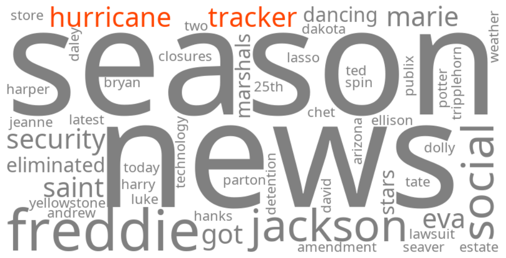
Google search trends for "hurricane tracker" and related terms are surging as Tropical Depression Nine has formed in the Gulf of Mexico and is forecast to rapidly strengthen into Tropical Storm Isaias, potentially becoming the first hurricane of the 2026 Atlantic season, prompting a state of emergency in Florida.
Essential Background
Hurricanes, tropical storms, and tropical depressions are types of tropical cyclones that form over warm ocean waters, bringing strong winds, heavy rainfall, and storm surge. Tropical depressions are the initial stage, which can then intensify into tropical storms (receiving a name) and then hurricanes. The National Hurricane Center (NHC) and NOAA Hurricane Center are primary sources for tracking these systems and issuing advisories, watches, and warnings to inform the public and guide preparedness efforts. The Atlantic hurricane season typically runs from June 1 to November 30.
The Full Story
A newly formed system, Tropical Depression Nine, is currently trending as it rapidly develops in the southwestern Gulf of Mexico. It is expected to strengthen into Tropical Storm Isaias by early Wednesday morning, October 7, 2026, and could reach hurricane strength by Thursday, making it the first hurricane of the current Atlantic season. This late formation would mark the latest first hurricane in the Atlantic since 1905.
Forecasts from the National Hurricane Center indicate the system will move northward across the Gulf, with a projected path bringing it towards the northern Gulf Coast by Friday and into the weekend. Florida Governor Ron DeSantis has already declared a state of emergency for 25 counties across Florida in anticipation of the storm's potential impacts. The system is expected to bring dangerous wind, significant rainfall, and storm surge to areas from the Florida Panhandle to southeastern Louisiana.
Why It Matters
The trending keywords reflect widespread concern and the critical need for preparedness among residents and authorities along the Gulf Coast and Florida. People are actively seeking information on the storm's track, intensity, and potential impacts to ensure safety and protect property. The declaration of a state of emergency in Florida underscores the seriousness of the impending threat, enabling the mobilization of resources and preparation for potential evacuations, power outages, and flooding. With heavy rainfall totals potentially exceeding six inches in many Gulf Coast states, flash flooding and urban flooding are significant concerns, even extending inland.
Geographic Location
- Southwestern Gulf of Mexico (formation of Tropical Depression Nine)
- Baker County, Florida, United States (under state of emergency for Tropical Depression Nine)
- Columbia County, Florida, United States (under state of emergency for Tropical Depression Nine)
- Florida Panhandle, Florida, United States (potential for wind, storm surge, heavy rainfall from Tropical Depression Nine)
- Southeastern Louisiana, United States (potential for wind, storm surge, heavy rainfall from Tropical Depression Nine)
- Mississippi-Alabama border, United States (projected landfall area for Tropical Depression Nine)
- New Orleans, Louisiana, United States (potential landfall area for Tropical Depression Nine)
- Destin, Florida, United States (potential landfall area for Tropical Depression Nine)
- Panama City Beach, Florida, United States (potential landfall area for Tropical Depression Nine)