 Climate
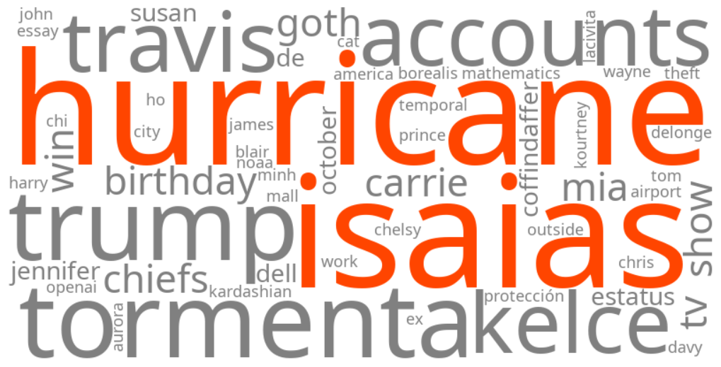
hurricane isaias
Summary (tl;dr)
Tropical Storm Isaias has formed in the Gulf of Mexico and is forecast to rapidly intensify into the first hurricane of the 2026 Atlantic season, prompting a state of emergency in numerous Florida counties and raising concerns along the northern Gulf Coast for dangerous winds, heavy rainfall, and storm surge.
Essential Background
The Atlantic hurricane season is currently underway, and the warm waters of the Gulf of Mexico often provide favorable conditions for the rapid development of tropical systems. The National Hurricane Center (NHC) continuously monitors tropical waves and depressions, upgrading them to tropical storms and hurricanes as they strengthen.
The Full Story
Keywords related to "Hurricane Isaias" are trending as Tropical Storm Isaias has recently formed in the southwestern Gulf of Mexico and is on a path expected to bring it to the northern Gulf Coast by Friday night or Saturday morning as a hurricane. Forecasters anticipate rapid strengthening, potentially making Isaias the first hurricane of the 2026 Atlantic season. In response to this developing threat, Florida Governor Ron DeSantis has declared a state of emergency for 25 counties, primarily in the Panhandle and Big Bend regions, to facilitate emergency preparedness and resource deployment. Hurricane Watches are in effect from Bay St. Louis, Mississippi, to Indian Pass, Florida, while a Storm Surge Watch extends from the mouth of the Mississippi River to Yankeetown, Florida. The storm's exact track remains uncertain, but spaghetti models indicate potential landfall between Destin, Florida, and New Orleans, Louisiana, with impacts expected to reach beyond the forecast cone.
Why It Matters
The rapid intensification of Tropical Storm Isaias poses a significant threat of life-threatening flash and urban flooding, dangerous winds, and storm surge along portions of the northern Gulf Coast. The state of emergency in Florida highlights the urgent need for residents to finalize disaster plans and ensure hurricane supply kits are stocked, as impacts could include heavy rainfall, strong winds, coastal flooding, and even isolated tornadoes. The potential for power outages and widespread disruption underscores the importance of close monitoring of official forecasts and preparedness in affected areas.
Geographic Location
- Florida, United States (state of emergency declared for 25 counties, including Baker, Bay, Calhoun, Columbia, Dixie, Escambia, Franklin, Gadsden, Gilchrist, Gulf, Hamilton, Holmes, Jackson, Jefferson, Lafayette, Leon, Liberty, Madison, Okaloosa, Santa Rosa, Suwannee, Taylor, Walton, Wakulla, and Washington counties, in preparation for Tropical Storm Isaias)
- Tallahassee, Leon County, Florida, United States (emergency resources being strategically staged)
- Santa Rosa County, Florida, United States (emergency resources being strategically staged)
- Indian Pass, Gulf County, Florida, United States (under Hurricane Watch)
- Yankeetown, Levy County, Florida, United States (under Storm Surge Watch)
- Bay St. Louis, Hancock County, Mississippi, United States (under Hurricane Watch)
- New Orleans, Orleans Parish, Louisiana, United States (potential area for tropical storm-force winds and possible landfall)
- Mouth of the Mississippi River, Louisiana, United States (under Storm Surge Watch)
- Mobile, Mobile County, Alabama, United States (potential landfall area)