 Climate
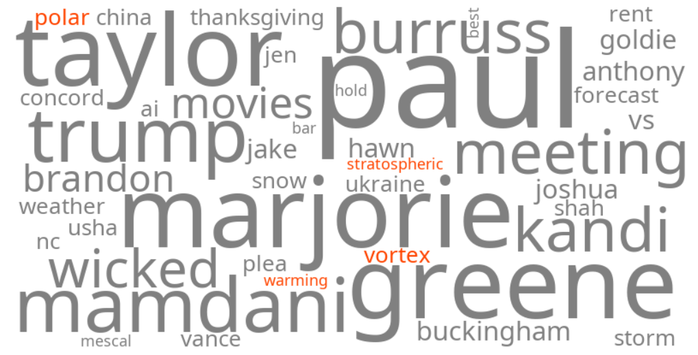
polar vortex stratospheric warming
Summary (tl;dr)
An unusually early Sudden Stratospheric Warming (SSW) event has begun, disrupting the polar vortex and prompting forecasts for colder-than-normal temperatures and potential snowfall across parts of North America and Europe starting in early December.
Essential Background
The polar vortex is a large region of very cold, rotating air high in the stratosphere above the Earth's poles, which typically keeps frigid Arctic air contained. A Sudden Stratospheric Warming (SSW) is an atmospheric phenomenon characterized by a rapid increase in temperatures in the stratosphere, sometimes by as much as 50°C (90°F) over just a few days. This warming event can significantly weaken or even reverse the strong westerly winds of the stratospheric polar vortex, causing it to become displaced or split. When the polar vortex is disrupted, the cold air that is usually confined to the polar regions can escape southward into lower latitudes, influencing surface weather patterns several weeks later.
The Full Story
Forecasters are closely monitoring a significant and unseasonably early Sudden Stratospheric Warming (SSW) event that commenced in November 2025. This event is considered rare for this time of year, with only a few instances of similar magnitude recorded in November in the modern record, such as in 1958 and 1968. The warming has initiated a collapse and disruption of the stratospheric polar vortex, causing it to weaken and become displaced. Current meteorological models predict that this disruption will lead to colder weather and increased chances of snowfall across wide areas of the Northern Hemisphere, including the United States, Canada, and Europe, beginning in early December. This top-down effect, where stratospheric changes impact weather closer to the ground, is expected to bring a colder-than-normal start to the winter season for many regions.
Why It Matters
The trending keywords "polar vortex stratospheric warming" and "polar vortex weather forecast" reflect significant public and meteorological interest due to the anticipated impact on upcoming winter weather. A disrupted polar vortex often leads to dramatic shifts in the jet stream, allowing frigid Arctic air to surge into mid-latitude regions. This could result in prolonged periods of unusually cold temperatures and significant snowstorms, potentially impacting daily life, travel, and infrastructure. Residents in affected areas are advised to monitor local forecasts and prepare for potential cold outbreaks, particularly in central and northern parts of the U.S. and various regions of Europe, where colder-than-normal temperatures are favored.
Geographic Location
- North Pole, Arctic (origin of sudden stratospheric warming and polar vortex disruption)
- Midwest, United States (anticipated colder-than-normal temperatures and snowfall)
- Plains, United States (anticipated colder-than-normal temperatures and snowfall)
- Ohio Valley, United States (anticipated colder-than-normal temperatures and wetter-than-average precipitation)
- Connecticut, United States (forecast for colder temperatures after Thanksgiving and into early December)
- Minnesota, United States (expected to be significantly impacted by polar vortex disruption)
- North Carolina, United States (potential for a brief cooldown)
- Southern Canada (anticipated cold weather and snowfall)
- Western Europe (forecast for Arctic cold blast)
- Northern Europe (anticipated long spell of dry, cold weather)