 Climate
weather radar
Summary (tl;dr)
A significant winter storm is set to bring a dangerous mix of ice, sleet, and snow, along with bitterly cold temperatures, to much of North and South Carolina this weekend, prompting both states to declare states of emergency. Residents are urged to prepare for hazardous travel conditions and widespread power outages.
Essential Background
The Carolinas typically experience varying winter weather, and this January 2026 outlook had already suggested a variable but active winter with potential for precipitation, despite a weakening La Niña influence. Concerns over power outages are heightened by a previous major winter storm in December 2022 that caused widespread and prolonged blackouts across North Carolina, prompting utilities to implement significant changes to their grid management.
The Full Story
As of January 23, 2026, a major winter storm is bearing down on the Carolinas, with significant impacts expected from Saturday, January 24, through Monday, January 26. North Carolina Governor Josh Stein declared a state of emergency on January 21, urging residents to prepare for power loss and avoid travel. South Carolina Governor Henry McMaster followed suit, declaring a state of emergency on January 21, activating emergency plans to mobilize resources.
Forecasters predict a substantial ice event for central and western North Carolina, including areas along and north of the I-85 corridor, with some regions potentially seeing up to two inches of ice accumulation. Western North Carolina, including Asheville and Hickory, is under an Ice Storm Warning, while the Triad region (Winston-Salem, Greensboro, and Asheboro) is under a Winter Storm Warning expecting a mix of ice and snow. The Triangle region, encompassing Raleigh and Durham, is currently under a Winter Storm Watch, with expectations for it to be upgraded to a warning as freezing rain and sleet are anticipated. Upstate South Carolina, including Greenville, is also bracing for significant winter weather with potential for severe ice. In addition to precipitation, dangerously cold temperatures and wind chills near or below zero are forecast to linger through early next week.
Why It Matters
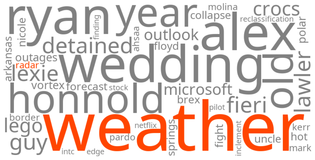
The trending keywords reflect widespread public concern and the urgent need for real-time information to ensure safety and prepare for the storm's potentially severe consequences. With forecasts indicating heavy ice accumulation, particularly across North Carolina, there is a significant risk of downed trees, power lines, and prolonged electricity outages. Hazardous travel conditions are expected to begin by Saturday afternoon and worsen through Sunday, with roads becoming slick and dangerous. The experience of extensive power outages in 2022 has made residents particularly vigilant about preparedness, leading to increased searches for weather updates, radar, and safety information.
Geographic Location
- Asheville, Buncombe County, North Carolina, United States (under Ice Storm Warning)
- Hickory, Catawba County, North Carolina, United States (under Ice Storm Warning)
- Winston-Salem, Forsyth County, North Carolina, United States (under Winter Storm Warning)
- Greensboro, Guilford County, North Carolina, United States (under Winter Storm Warning)
- Asheboro, Randolph County, North Carolina, United States (under Winter Storm Warning)
- Raleigh, Wake County, North Carolina, United States (under Winter Storm Watch, bracing for freezing rain/ice)
- Charlotte, Mecklenburg County, North Carolina, United States (bracing for major ice event)
- Durham, Durham County, North Carolina, United States (bracing for major ice event)
- Greenville, Greenville County, South Carolina, United States (bracing for significant winter weather, potential for severe ice)
- Columbia, Richland County, South Carolina, United States (Governor declared State of Emergency)