 Climate
earthquake
Summary (tl;dr)
A powerful magnitude 7.4 earthquake struck off the eastern coast of Indonesia, triggering a tsunami warning that was later lifted, and causing at least one fatality and damage to buildings.
Essential Background
Indonesia is situated on the "Ring of Fire," a horseshoe-shaped belt around the Pacific Ocean known for its high seismic activity due to the movement and collision of several tectonic plates. This geological setting makes the country highly prone to frequent earthquakes and volcanic eruptions.
The Full Story
Early on Thursday, April 2, 2026, a significant earthquake with a magnitude of 7.4 struck in the Northern Molucca Sea, off Indonesia's eastern coast. The United States Geological Survey (USGS) reported the epicenter to be approximately 127 kilometers (79 miles) west-northwest of Ternate, in Indonesia's North Maluku province, at a depth of 35 kilometers. The earthquake initially prompted a widespread tsunami alert from the Pacific Tsunami Warning Center, warning of potentially hazardous waves within 1,000 kilometers of the epicenter across the coasts of Indonesia, the Philippines, and Malaysia. Small tsunami waves, up to 30 centimeters (a foot) high, were subsequently recorded in locations such as Bitung and West Halmahera in Indonesia, and 5 centimeters in Davao in the southern Philippines. However, Indonesia's meteorological agency lifted its tsunami warning hours after the quake, and the threat for more distant areas, including Hawaii, was ruled out. Strong shaking was felt for 10 to 20 seconds in coastal cities like Bitung in North Sulawesi and Ternate in North Maluku. Initial reports indicate at least one fatality, a 70-year-old woman in North Sulawesi, killed by falling debris, and several injuries. There has also been light to moderate damage to homes and other structures in parts of Ternate and Bitung, and nearly 50 aftershocks were felt in the affected areas.
Why It Matters
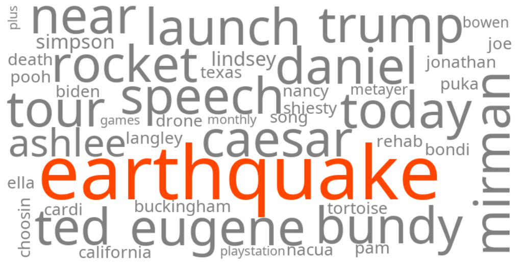
The trending keywords reflect immediate public concern and searches for real-time information following a major seismic event in a densely populated and seismically active region. Such earthquakes carry a significant risk of casualties and widespread destruction, especially when they trigger tsunami warnings, due to the potential for devastating waves and widespread infrastructure damage. The ability to quickly disseminate information and issue warnings is critical for public safety and preparedness in these vulnerable coastal communities.
Geographic Location
- Northern Molucca Sea, Indonesia (epicenter of the earthquake)
- Ternate, North Maluku province, Indonesia (strong shaking, light to moderate damage, three injured people hospitalized)
- Bitung, North Sulawesi province, Indonesia (strong shaking, small tsunami waves recorded, damage assessments underway)
- Minahasa district, North Sulawesi province, Indonesia (one fatality reported)
- Manado, North Sulawesi province, Indonesia (one fatality reported)
- West Halmahera, North Maluku province, Indonesia (small tsunami waves recorded)
- Davao, Davao Region, Philippines (small tsunami waves recorded)