 Climate
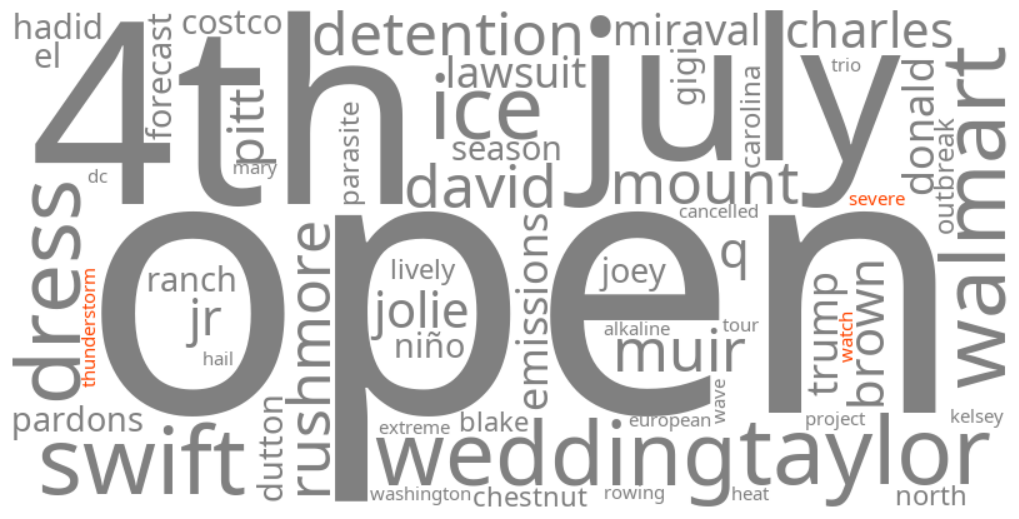
severe thunderstorm watch
Summary (tl;dr)
Widespread severe thunderstorm watches are impacting central, eastern, and southern parts of the United States, driven by a combination of extreme heat, humidity, and clashing air masses, causing disruptions during the Fourth of July weekend.
Essential Background
July 2026 has been projected to be a month marked by significant extreme weather across the United States, including pervasive above-normal temperatures and the presence of a powerful heat dome over the western U.S.. This high-pressure system traps hot air, leading to escalating temperatures and displacing rain clouds, which intensifies drought and wildfire risks in the West. Simultaneously, persistent humidity in the Eastern and Southern states, coupled with active frontal systems, creates an unstable atmosphere conducive to storm development.
The Full Story
Currently, numerous severe thunderstorm watches are in effect across various regions of the United States, including the Midwest, Central Plains, Southeast, and portions of the Mid-Atlantic and Northeast, coinciding with the Fourth of July holiday weekend. These watches indicate that conditions are favorable for severe thunderstorms to develop, threatening areas with large hail (up to the size of a ping-pong ball), damaging winds (up to 75 mph), heavy rainfall, and potential flash flooding. This surge in severe weather is primarily due to a dynamic weather pattern where warm, moist air from the Gulf of Mexico collides with cooler northern air, fueling intense storms and rapid temperature fluctuations. For instance, Rutherford County, Tennessee, has been under a Severe Thunderstorm Warning due to heavy rain, while regions like Chicagoland, West Michigan, Southeast Michigan, and Northeast Ohio have also experienced watches and warnings for strong storms.
Why It Matters
The prevalence of severe thunderstorm watches is critical because of the immediate threats they pose to safety and infrastructure, including the risk of widespread power outages, structural damage from strong winds and hail, and flash flooding in both urban and rural areas. Occurring during the busy Fourth of July holiday weekend, these storms are likely to disrupt outdoor celebrations, travel plans, and firework displays, potentially creating hazardous conditions for many. Furthermore, this weather pattern aligns with a broader forecast for July 2026, which anticipates ongoing extreme weather, high temperatures, and the potential for droughts and wildfires in other regions, highlighting escalating concerns about climate-related weather volatility.
Geographic Location
- Rutherford County, Tennessee, United States (Severe Thunderstorm Warning)
- Arlington Heights, Cook County, Illinois, United States (line of severe thunderstorms passed through)
- O'Hare International Airport, Cook County, Illinois, United States (line of severe thunderstorms passed through)
- Kenosha County, Wisconsin, United States (Severe Thunderstorm Watch)
- West Michigan, United States (Severe Thunderstorm Watch affecting Allegan, Barry, Berrien, Branch, Calhoun, Cass, Clinton, Eaton, Genesee, Hillsdale, Ingham, Ionia, Jackson, Kalamazoo, Kent, Lapeer, Lenawee, Livingston counties)
- Southeast Michigan, United States (Severe Thunderstorm Watch affecting Wayne, Oakland, Macomb, Washtenaw, Monroe, Livingston, Lenawee, Lapeer, Genesee, St. Clair counties)
- Trumbull County, Ohio, United States (Severe Thunderstorm Warning in northeast portion)
- Ashtabula County, Ohio, United States (Severe Thunderstorm Warning in southeast portion)
- Wooster, Ohio, United States (severe thunderstorms reported near)
- Loudonville, Ohio, United States (severe thunderstorms reported near)
- Vienna Center, Trumbull County, Ohio, United States (severe thunderstorms located near)
- Louisville, Stark County, Ohio, United States (severe thunderstorms located near)
- Seward County, Nebraska, United States (Severe Thunderstorm Warning for southern portion, impacting Beaver Crossing and Milford)
- Richmond, Virginia, United States (Storm Prediction Center outlined as having best chances for organized severe weather)
- New York City, New York, United States (Storm Prediction Center outlined as having best chances for organized severe weather)