 Climate
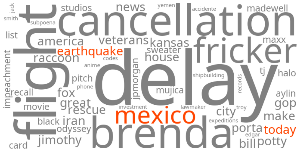
mexico earthquake today
Summary (tl;dr)
A powerful magnitude 7.3 earthquake struck off the southern coast of Mexico near the border with Guatemala on Friday, July 17, 2026, leading to temporary tsunami warnings and widespread tremors across the region.
Essential Background
Mexico and Central America are situated on active tectonic plate boundaries, making them highly susceptible to seismic activity. Specifically, the Cocos plate subducts beneath the North America plate in this region, a geological process that frequently generates significant earthquakes. Historically, this area has experienced numerous major earthquakes, including at least eight magnitude 7 or greater quakes since 2000.
The Full Story
On Friday, July 17, 2026, a strong earthquake with a magnitude of 7.3 occurred offshore, approximately 30 miles (48 kilometers) southwest of Aquiles Serdán, a coastal community in Mexico's Chiapas state, near the port town of Puerto Madero and the Guatemala border. The U.S. Geological Survey (USGS) initially reported the quake as magnitude 7.4 before revising it to 7.3. Originating at a shallow depth of roughly 9 to 15 kilometers (about 6 to 9 miles), the tremor's intensity was amplified, causing strong shaking across southern Mexico, Guatemala City, and extending to El Salvador. The earthquake, which struck at 8:48 a.m. local time, was followed by at least five aftershocks ranging from magnitude 5.1 to 6.0. A tsunami threat was initially issued for coastal areas within 300 kilometers (186 miles) of the epicenter in Mexico and Guatemala, with potential waves reaching 0.3 to 1 meter above tide level, but this warning was subsequently lifted. Mexican President Claudia Sheinbaum and Guatemalan authorities reported no immediate casualties or major damage, though emergency protocols were activated, and some buildings were evacuated in affected areas.
Why It Matters
The widespread trending of keywords related to the Mexico earthquake reflects significant public concern over safety and potential damage in a seismically active region. The shallow depth and high magnitude of the quake raised immediate fears of severe structural damage, landslides, and liquefaction. Although initial reports indicated no major casualties, the issuance of a temporary tsunami warning prompted authorities to advise coastal residents to avoid beaches, underscoring the immediate danger posed by such events. This incident highlights the ongoing seismic vulnerability of the Pacific Ring of Fire and the crucial role of timely information and emergency preparedness in mitigating potential disasters.
Geographic Location
- Offshore, Chiapas, Mexico (epicenter of magnitude 7.3 earthquake)
- Aquiles Serdán, Chiapas, Mexico (coastal community near the earthquake epicenter)
- Puerto Madero, Chiapas, Mexico (port town near the earthquake epicenter)
- Tapachula, Chiapas, Mexico (city on Mexico's southern border where tremors intensified)
- Tuxtla Gutierrez, Chiapas, Mexico (capital of Chiapas, experienced panic and evacuations in tall buildings)
- Guatemala City, Guatemala, Guatemala (experienced prolonged shaking, prompting evacuations)
- Quetzaltenango, Quetzaltenango Department, Guatemala (experienced debris from a collapsed wall; classes suspended)
- San Marcos Department, Guatemala (classes suspended due to earthquake proximity)
- Suchitepéquez Department, Guatemala (classes suspended due to earthquake proximity)
- Retalhuleu Department, Guatemala (classes suspended due to earthquake proximity)