 Climate
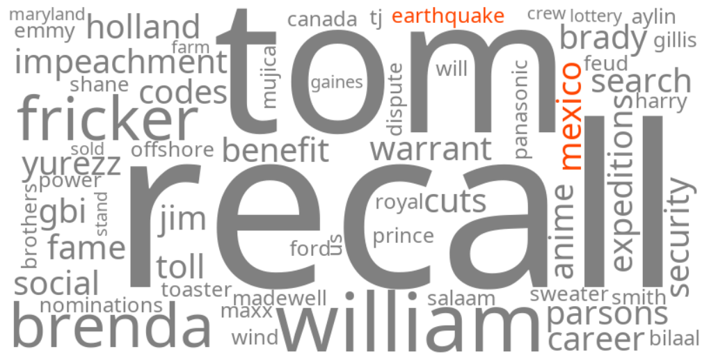
mexico earthquake
Summary (tl;dr)
A powerful magnitude 7.3 earthquake struck off the southern Pacific coast of Mexico near the Guatemala border on Friday, July 17, 2026, triggering widespread shaking and a temporary tsunami warning for coastal areas, though authorities reported no major damage or widespread casualties.
Essential Background
The region where the earthquake occurred is part of the seismically active "Pacific Ring of Fire" and lies near the Middle America Trench, making it prone to frequent and strong earthquakes as tectonic plates interact. Earthquakes in this area can often generate tsunami warnings due to the underwater seismic activity.
The Full Story
On Friday, July 17, 2026, a 7.3 magnitude earthquake struck off the southern Mexican Pacific coast, approximately 30 miles southwest of Aquiles Serdan, near the coast of Chiapas, and Puerto Madero, at a shallow depth of about 9-10 miles. The tremor was widely felt across southern Mexico, including Mexico City, and in neighboring Central American countries such as Guatemala and El Salvador, prompting residents to evacuate buildings.
Following the quake, the U.S. Tsunami Warning System initially issued an alert for hazardous tsunami waves possible within 186 miles (300 km) of the epicenter along the coasts of Mexico and Guatemala, with waves potentially reaching up to 3 feet above tide levels. However, the threat was later lifted as sea level monitoring stations recorded only minor, non-destructive fluctuations. Authorities in both Mexico and Guatemala reported no severe damage or widespread casualties, though two people in southern Mexico sustained minor injuries, including one woman who suffered fractures after jumping from an apartment building in Tapachula. At least 10 aftershocks between magnitude 4.9 and 6 were recorded. In Guatemala, in-person classes were suspended in several departments near the epicenter as a precautionary measure.
Why It Matters
These keywords are trending as people seek information about the earthquake's impact, potential for tsunamis, and personal safety in a region highly susceptible to seismic activity. The initial tsunami warning, though later lifted, heightened public concern and emphasized the critical need for rapid alert systems. While major destruction was avoided in this instance, the event serves as a reminder of the constant seismic threat faced by communities along the Pacific coast of Mexico and Central America, prompting ongoing vigilance and preparedness efforts.
Geographic Location
- Offshore, Aquiles Serdan, Chiapas, Mexico (epicenter of magnitude 7.3 earthquake)
- Puerto Madero, Chiapas, Mexico (near the epicenter, initially triggered tsunami warnings)
- Tapachula, Chiapas, Mexico (city where tremor intensified and minor injuries were reported)
- Tuxtla Gutierrez, Chiapas, Mexico (state capital where panic occurred in tall buildings)
- Mexico City, Mexico (buildings creaked and shook)
- Guatemala City, Guatemala (buildings shook, residents evacuated, municipal building evacuated)
- Departments of San Marcos, Quetzaltenango, Suchitepéquez, and Retalhuleu, Guatemala (in-person classes suspended)
- San Salvador, El Salvador (earthquake felt strongly, evacuations as a precaution)
- Offshore, Usulután Department, El Salvador (epicenter of a lesser intensity earthquake)