 Climate
tornado watch
Summary (tl;dr)
A Tornado Watch was issued for the New York City metropolitan area and much of the Northeast on July 21, 2026, accompanied by severe thunderstorms and widespread flood watches, leading to significant public concern and travel disruptions.
Essential Background
Tornadoes are considered relatively rare in New York City, making a tornado watch a notable event for the region. A "tornado watch" indicates that atmospheric conditions are favorable for tornadoes to form, meaning people should be prepared, whereas a "tornado warning" signifies that a tornado has been sighted or detected by radar, requiring immediate action and shelter. The region had already experienced severe weather and flash flooding in the days leading up to this event.
The Full Story
On Tuesday, July 21, 2026, the Storm Prediction Center issued a Tornado Watch until 9:00 PM ET for a corridor of over 32 million people, encompassing the New York City metropolitan area, Philadelphia, and parts of the Mid-Atlantic. This alert was prompted by atmospheric conditions conducive to severe thunderstorms, which could produce tornadoes, damaging wind gusts up to 70 mph, and large hail.
Concurrently, a Flood Watch was in effect for New York City, Long Island, Northern New Jersey, and Philadelphia, anticipating torrential downpours with rainfall rates of 1-3 inches per hour, likely causing rapid street and highway flooding. Doppler radar showed severe storms impacting northern New Jersey and the northern suburbs of New York City, causing sudden water pooling on roads and hazardous driving conditions. Travel was significantly disrupted, with hundreds of flights delayed and canceled at Newark, JFK, and LaGuardia airports. Localized reports of possible tornado damage, including trees and debris blocking roadways, emerged from Northern New Jersey. New York City Emergency Management had activated its Flash Flood Emergency Plan in anticipation of these storms. Separately, on July 18, a Tornado Warning had been issued for Southwestern Delaware County in central New York, indicating a severe thunderstorm capable of producing a tornado near Walton.
Why It Matters
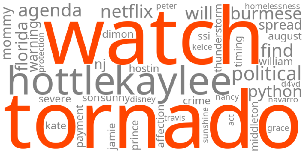
These trending keywords reflect heightened public concern and the urgent need for information regarding severe weather, which is atypical for the New York City area. Residents are seeking to understand the difference between a tornado watch and a tornado warning to ensure their safety. The combination of potential tornadoes, damaging winds, and severe flash flooding poses immediate threats to life, property, and infrastructure, impacting daily commutes and necessitating emergency preparedness.
Geographic Location
- New York City, New York, United States (Tornado Watch issued, Flood Watch issued, severe thunderstorms, flash flooding, travel disruptions)
- Long Island, New York, United States (Flood Watch issued, severe thunderstorms, flash flooding)
- Northern New Jersey, United States (Tornado Watch issued, Flood Watch issued, severe thunderstorms, flash flooding, possible tornado damage, power outages)
- Philadelphia, Philadelphia County, Pennsylvania, United States (Tornado Watch issued, Flood Watch issued, severe thunderstorms, flash flooding)
- Southwestern Delaware County, New York, United States (Tornado Warning issued on July 18)
- Morris County, New Jersey, United States (reports of tornado touching down)
- Stanhope, Morris County, New Jersey, United States (possible tornado touchdown reported)