 Climate
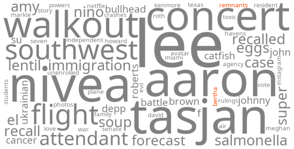
remnants of bertha
Summary (tl;dr)
Tropical Storm Bertha, which recently made landfall near the Texas-Louisiana border, has weakened into a tropical depression, with its remnants continuing to bring rain and the potential for localized flooding to parts of coastal and South Texas, including the Houston area.
Essential Background
Tropical cyclones, encompassing tropical depressions, tropical storms, and hurricanes, are organized weather systems that form over warm ocean waters. As these systems move inland or encounter less favorable atmospheric conditions, such as cooler water or increased wind shear, they lose their distinct tropical characteristics and weaken, often being reclassified as "remnants" or "post-tropical cyclones." Despite their diminished wind speeds and less organized structure, these remnants can still produce significant amounts of rainfall, leading to localized flooding and other severe weather conditions.
The Full Story
The keywords "remnants of bertha," "bertha tracker houston," and "weather houston" are trending as Tropical Storm Bertha, the second named storm of the 2026 Atlantic hurricane season, has weakened considerably after making landfall. Bertha made landfall near the Texas-Louisiana border on Thursday, July 23, 2026, and although it dissipated by late Thursday evening, its remnants are still expected to produce 1 to 3 inches of rainfall, with isolated totals up to 4 inches. This rainfall carries the potential for flash flooding in coastal and South Texas. While the most significant hazards, including tropical storm-force winds and heavy surf, were concentrated along the upper Texas Coast, the Houston metropolitan area is experiencing passing showers and occasional gusty winds as forecasters continue to track the system's diminishing influence.
Why It Matters
The public is closely monitoring the remnants of Tropical Storm Bertha due to concerns about potential heavy rainfall and localized flooding, particularly in flood-prone coastal areas like Houston. Even though a tropical system has weakened to remnants, it can still deliver substantial moisture, which can lead to significant freshwater flooding and disruptions. The continued tracking of Bertha's remnants is crucial for residents and emergency services to prepare for and mitigate the impacts of lingering rainfall and potential localized street flooding.
Geographic Location
- Texas-Louisiana border, United States (Tropical Storm Bertha made landfall)
- Upper Texas Coast, Texas, United States (experienced tropical storm-force winds, rough surf, and minor coastal flooding from Bertha)
- Houston, Harris County, Texas, United States (expected to see passing showers and gusty winds from Bertha's remnants, with ongoing tracking of weather impacts)
- Coastal and South Texas, Texas, United States (expected to receive 1 to 3 inches of rainfall from Bertha's remnants, with isolated totals up to 4 inches, potentially triggering flash flooding)