 Climate
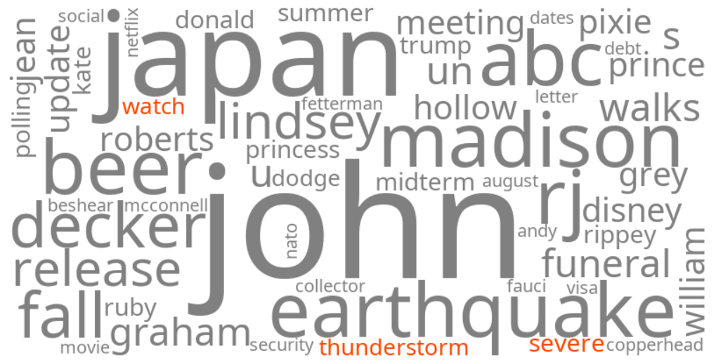
severe thunderstorm watch
Summary (tl;dr)
"Severe thunderstorm watch" is trending as parts of the Midwestern and Northeastern United States are currently facing threats of strong to severe thunderstorms, fueled by high heat and humidity, with advisories for damaging winds, hail, and flash flooding.
Essential Background
A severe thunderstorm watch indicates that conditions are favorable for severe thunderstorms to develop in or near the watch area. These storms can bring dangerous weather phenomena such as damaging winds, large hail, and even tornadoes. The United States frequently experiences severe weather outbreaks, particularly during the summer months. For instance, in July 2024, an intense sequence of severe weather affected much of the Midwestern and Northeastern United States, including two significant derechos with wind gusts exceeding 100 mph and a record-breaking 94 tornadoes across affected areas, resulting in fatalities and widespread damage. Such past events underscore the serious nature of current severe thunderstorm watches and the potential for significant impact.
The Full Story
"Severe thunderstorm watch" is trending today due to current forecasts of significant severe weather impacting several regions across the United States. In the Philadelphia region, including Chester County, Pennsylvania, and throughout New Jersey, a flood watch is in effect for Tuesday and Wednesday, with strong storms expected. Simultaneously, a severe weather threat has returned to Kentucky and southern Indiana, particularly in areas like Louisville, with a Weather Impact Alert Day issued for Monday due to the potential for strong storms and a Heat Advisory. These storms are being fueled by a combination of high heat and humidity, creating an atmosphere conducive to developing powerful storm clusters capable of producing strong winds and heavy rain.
Why It Matters
The trending keyword signifies widespread public concern and the need for vigilance regarding potentially dangerous weather. Severe thunderstorms can cause significant disruption, including widespread power outages, structural damage from high winds and hail, and dangerous flash flooding, which can lead to hazardous travel conditions and property damage. The combination of severe storms and high humidity can also exacerbate health risks, particularly for vulnerable populations. The issuance of severe thunderstorm watches prompts residents to stay informed, prepare for potential hazards, and take necessary safety precautions to protect lives and property.
Geographic Location
- Philadelphia region, Pennsylvania, United States (flood watch and strong storms expected)
- Chester County, Pennsylvania, United States (flood watch and strong storms expected)
- New Jersey, United States (flood watch and strong storms expected)
- Louisville, Jefferson County, Kentucky, United States (severe weather threat, Heat Advisory)
- Southern Indiana, United States (severe weather threat)