 Climate
colombia earthquake
Summary (tl;dr)
A powerful 7.4-magnitude earthquake struck western Colombia on Monday, August 10, 2026, causing widespread destruction, killing over 100 people, and injuring hundreds more. The seismic event, which had its epicenter in the Chocó province, prompted a national emergency declaration and led to significant damage in numerous cities across the region.
Essential Background
Colombia is situated in a seismically active zone, specifically along the "Ring of Fire," an area prone to frequent earthquakes and volcanic activity due to the movement of tectonic plates. This geological context means the country has historically experienced seismic events, with a notable earthquake in 1999 devastating the coffee region and killing over 1,200 people. Just weeks prior to this event, neighboring Venezuela was hit by two powerful earthquakes in late June, which resulted in thousands of deaths and extensive damage.
The Full Story
On Monday, August 10, 2026, at approximately 7:34 a.m. local time, a major 7.4-magnitude earthquake shook western Colombia. The earthquake's epicenter was located near San José del Palmar, a community in the rural Chocó province. This quake is reportedly the strongest to hit Colombia on record, and the largest in a decade.
The powerful tremor resulted in at least 111 fatalities and injured more than 460 people. Many individuals were trapped under debris as buildings collapsed in cities across the western part of the country. Significant damage was reported in cities such as Pereira, Cali, Manizales, and Quibdó, with hundreds of buildings affected in over 20 municipalities. In Manizales, a tower of the neo-Gothic cathedral collapsed. The earthquake was felt as far away as the capital, Bogotá, where evacuations were prompted, and also in neighboring Ecuador and Panama. A 5.0-magnitude aftershock was reported less than an hour after the initial quake, with other aftershocks also recorded. Colombian President Abelardo de la Espriella declared a state of national disaster to expedite recovery efforts and mobilize emergency funding.
Why It Matters
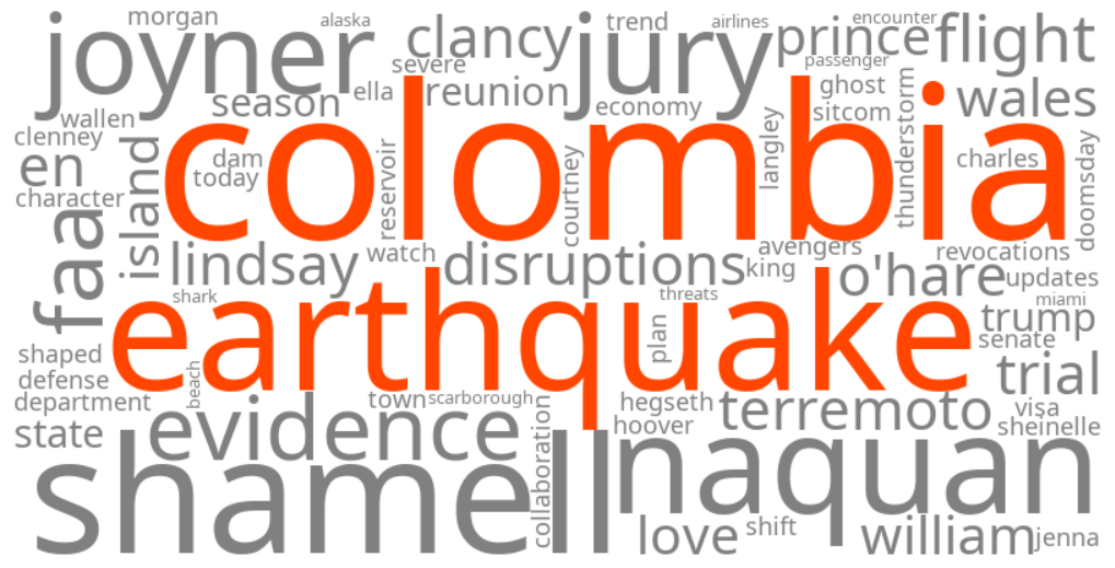
This severe earthquake has led to a significant humanitarian crisis, with a rising death toll, numerous injuries, and widespread displacement as people's homes and livelihoods are destroyed. The extensive damage to infrastructure, including buildings and potentially airports, will require substantial recovery efforts and funding, which President de la Espriella aims to address through the declared state of emergency. The event highlights Colombia's vulnerability to seismic activity and underscores the ongoing need for robust earthquake preparedness and resilient infrastructure, especially given the recent devastating earthquakes in nearby Venezuela. The trending keywords reflect global concern and a search for information regarding the immediate impact, rescue operations, and long-term implications of this major natural disaster.
Geographic Location
- San José del Palmar, Chocó, Colombia (epicenter of the 7.4-magnitude earthquake)
- Pereira, Risaralda, Colombia (multiple deaths, building collapses, partial collapse of Matecaña International Airport)
- Cali, Valle del Cauca, Colombia (multiple deaths, numerous building collapses)
- Manizales, Caldas, Colombia (multiple deaths, collapse of cathedral tower, damaged buildings)
- Quibdó, Chocó, Colombia (injuries and serious building damage)
- Bogotá, Cundinamarca, Colombia (earthquake felt, prompting evacuations)
- Medellín, Antioquia, Colombia (reports of structural damage, metro operations suspended)
- Buenaventura, Valle del Cauca, Colombia (one death due to building collapse)
- El Cairo, Valle del Cauca, Colombia (affected by the earthquake)
- El Águila, Valle del Cauca, Colombia (affected by the earthquake)