 Climate
severe thunderstorm watch
Summary (tl;dr)
Multiple rounds of severe thunderstorms are impacting large swathes of the Midwest, Great Lakes, Mid-Atlantic, and Northeast United States, along with parts of Southern Ontario, Canada, prompting widespread "severe thunderstorm watches" and "warnings" for damaging winds, large hail, heavy rainfall, and flash flooding.
Essential Background
A "severe thunderstorm watch" indicates that conditions are favorable for severe thunderstorms to develop in and near the watch area, typically issued 4 to 8 hours in advance to allow for preparedness. A severe thunderstorm is defined as a storm producing hail at least one inch in diameter (about the size of a quarter) and/or wind gusts of 58 miles per hour or higher. In contrast, a "severe thunderstorm warning" means a severe storm is already occurring or is imminent in the specified area, detected by radar or trained spotters, requiring immediate action to seek shelter. Warnings are more localized and generally last less than an hour.
The Full Story
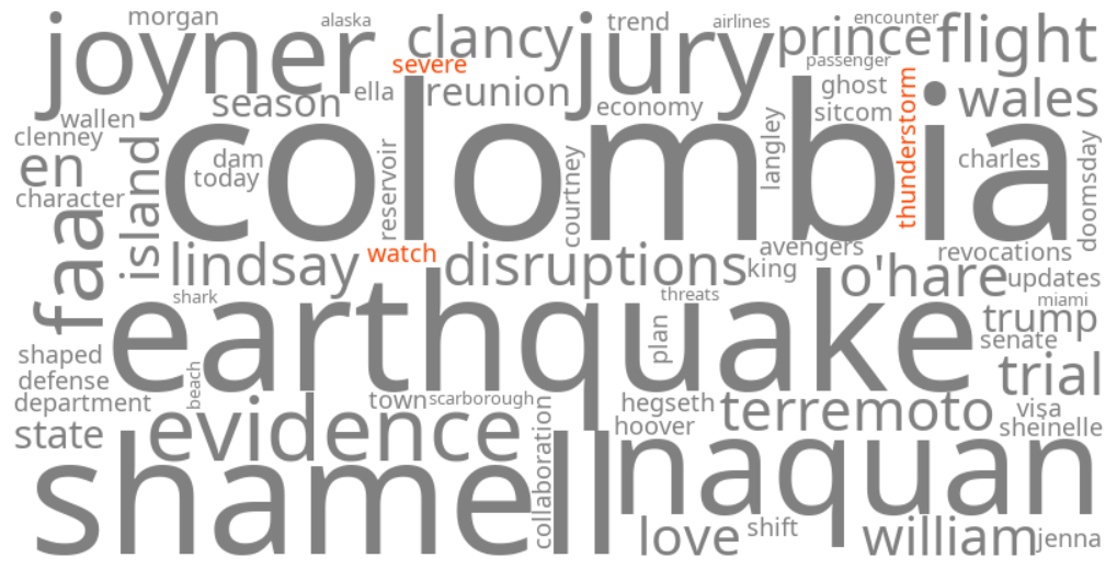
A slow-moving front interacting with tropical air is fueling a multi-day siege of storms across eastern North America, causing "severe thunderstorm watch" and "severe thunderstorm warning" to trend. The stormy pattern began on Sunday, August 9, 2026, in the southern Great Lakes, bringing heavy rain and localized flooding to areas like Chicago. By Monday, August 10, 2026, storms were ongoing from Ohio to Pennsylvania and northern West Virginia, with more expected throughout the afternoon and evening.
Significant flash flooding is a serious concern this week, particularly in parts of the Ohio Valley and central Appalachians, including cities like Charleston, West Virginia, Cincinnati, Ohio, and Indianapolis, Indiana. On Sunday night, a damaging tornado struck approximately 50 miles southwest of Chicago in Ransom, Illinois, causing reported damage to homes and a train derailment.
Severe Thunderstorm Watches have been issued for multiple counties in Northeast Ohio, parts of the Southern Tier and Sullivan County in New York, Northeastern Pennsylvania, and Washington, D.C., warning of strong winds and heavy downpours. Meanwhile, on Saturday, August 8, 2026, federal meteorologists in Canada issued a severe thunderstorm watch for Toronto and most of Southern Ontario, with specific warnings for communities like Orillia, forecasting wind gusts up to 90 km/h, large hail, and heavy rain, along with potential utility outages.
Why It Matters
The trending keywords highlight a widespread and dangerous weather event with significant implications for public safety and property. Severe thunderstorms can cause extensive damage from strong winds, large hail, and flash flooding, leading to downed trees, power outages, and impassable roads. Understanding the difference between a "watch" and a "warning" is crucial for individuals to prepare effectively and take immediate action, potentially saving lives and mitigating injuries. The prolonged nature of this storm system, especially the risk of flash flooding, poses a serious threat to infrastructure and daily life in affected regions.
Geographic Location
- Ransom, LaSalle County, Illinois, United States (damaging tornado strike on Sunday night)
- Chicago, Cook County, Illinois, United States (heavy rain and road flooding on Sunday)
- Southeastern Michigan, United States (multi-day storm with heavy rain and damaging winds)
- Detroit metropolitan area, Wayne County, Michigan, United States (epicenter of multi-day storm with heavy rain and damaging winds)
- Gogebic County, Michigan, United States (half-dollar sized hail and strong winds on August 7th)
- Ontonagon County, Michigan, United States (half-dollar sized hail and strong winds on August 7th)
- Northeast Ohio, United States (severe weather, heavy rain, lightning, gusty winds, hail, power outages, and active Severe Thunderstorm Watch on Monday)
- Copley Township, Summit County, Ohio, United States (ping-pong ball sized hail reported on Monday morning)
- Charleston, Kanawha County, West Virginia, United States (Level 3 of 4 flood threat on Tuesday)
- Cincinnati, Hamilton County, Ohio, United States (flood threat this week)
- Indianapolis, Marion County, Indiana, United States (flood threat this week)
- Southern Tier, New York, United States (Severe Thunderstorm Watch expanded and valid until 10 p.m. on Monday)
- Sullivan County, New York, United States (Severe Thunderstorm Watch expanded and valid until 10 p.m. on Monday)
- Northeastern Pennsylvania, United States (Severe Thunderstorm Watch expanded and valid until 10 p.m. on Monday)
- Washington, D.C., District of Columbia, United States (Severe Thunderstorm Watch issued until 9 p.m. on Monday)
- Toronto, Ontario, Canada (severe thunderstorm watch issued on Saturday, August 8th)
- Southern Ontario, Canada (severe thunderstorm watch issued on Saturday, August 8th, advising of strong wind gusts, large hail, and heavy rain)
- Orillia, Simcoe County, Ontario, Canada (severe thunderstorm warning issued on Saturday, August 8th)